Data and Geocoding
Geocoding Consulting Expertise
Contact Gateway Spatial for US and Global geocoding expertise. Gateway Staff has worked with leading geocoding companies for over 20 years, and will help you assemble the right products and solutions for your geocoding project and infrastructure.
Building Footprint Data

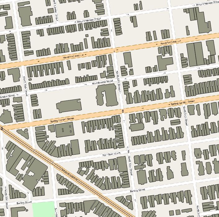
Gateway Spatial has over 104 million building footprint polygons for the U.S., which are available in a variety of spatial formats for use within GIS software such as ArcGIS, MapInfo, QGIS, and more. Coverage includes data for over 1,200 counties and municipalities in the US, representing over 70% of the US population. Building Footprint data can be sold as a national product, or by state.
Addressing and Geocoding Reference Data

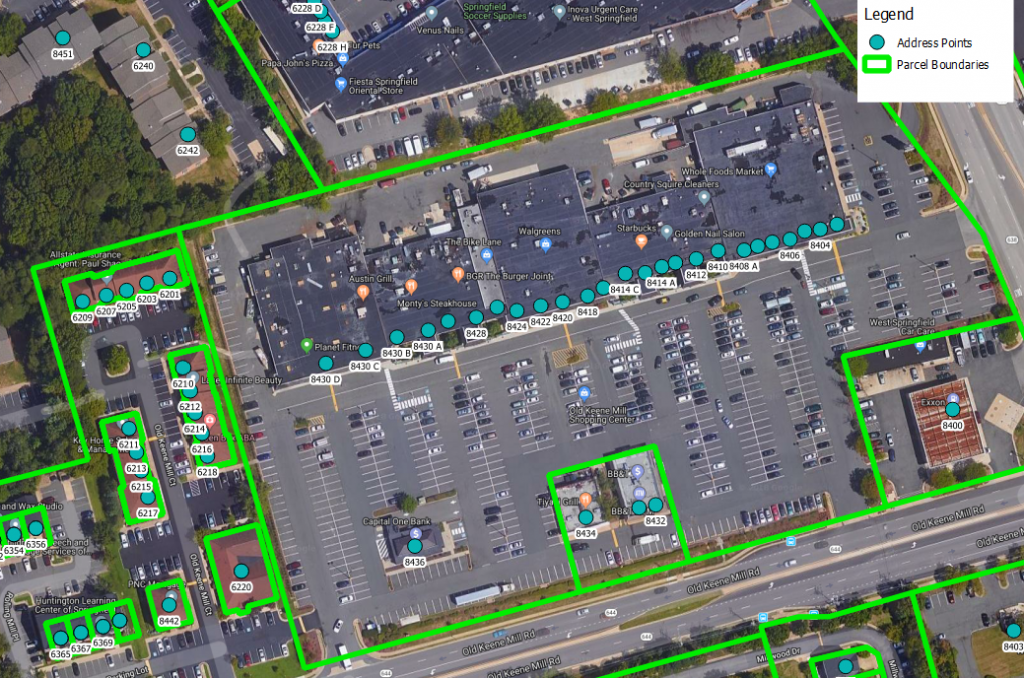
Gateway Spatial has collected and sanitized detailed address data for a majority of US counties and cities, with over 170 million address points, which can be used as supplemental information to enhance geocoding systems and data enhancement. Much of this data is hyper-accurate, to the specific unit level within a parcel.